Land For Sale


Basic Details
Property Type:
Land
Listing Type:
For Sale
Listing ID:
107356
Price:
$350,000
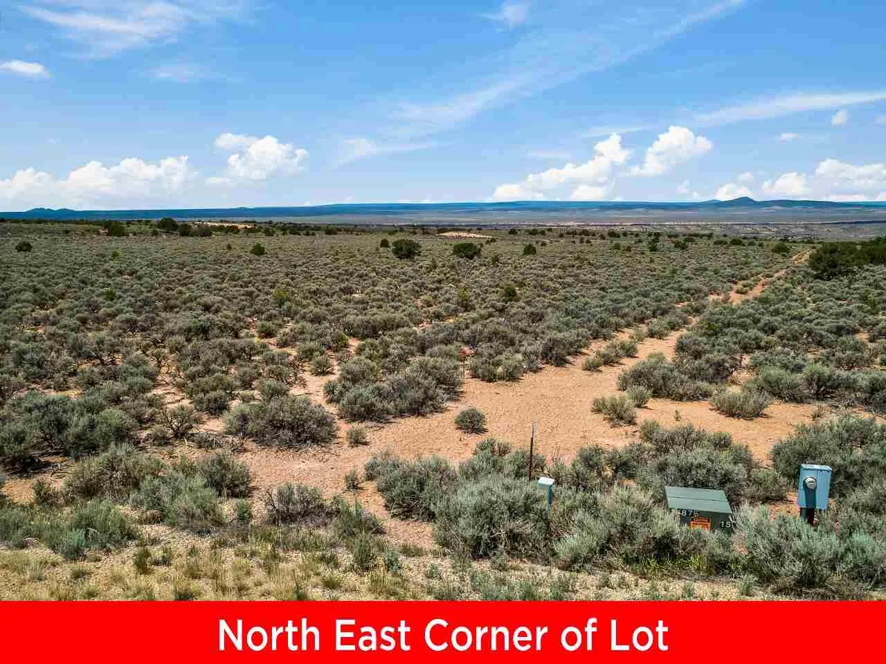
Lot Area:
14.96 Acre
Number of Acres:
14.96
Property Sub Type:
Improved Land
Features
Sewer
Septic Type Unknown,
Utilities
Electricity Available, Phone Available, Natural Gas Available,
Address Map
Country:
US
State:
NM
County:
Taos
City:
Ranchos De Taos
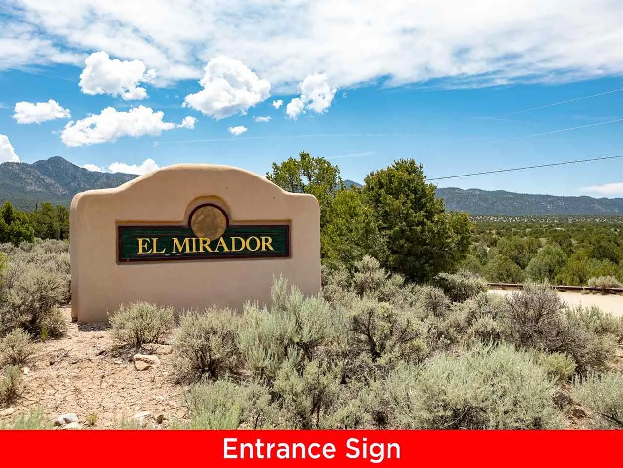
Subdivision:
El Mirador
Zipcode:
87557
Street:
Calle El Mirador
Street Number:
7
Mls Area Major:
STAKEOUT AREA (41A)
Directions:
Head south on 68 then turn Left at Stakeout. Take the first right into EL Mirador Subdivision then take a right on Calle El Mirador. Property is on the NW curve where the road turns, it is a circle.
MLS Addon
Office Name:
Berkshire Hathaway HomeServices Taos Real Estate
Agent Info
| No Image |
Evan Blish
|
