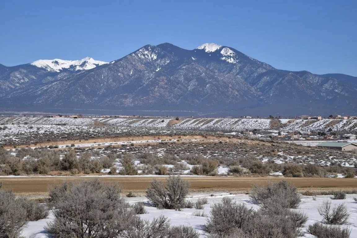
Land For Sale


Basic Details
Property Type:
Land
Listing Type:
For Sale
Listing ID:
109583
Price:
$199,000
Lot Area:
10 Acre
Number of Acres:
10
Property Sub Type:
Unimproved Land
Features
Sewer
None,
Utilities
Electricity Available, Phone Available, Natural Gas Not Available, Sewer Not Available, Water Not Available,
Address Map
Country:
US
State:
NM
City:
El Prado
Subdivision:
None
Zipcode:
87529-0000
Street:
Camino Tortuga
Mls Area Major:
COLONIAS LOWER (12A)
Directions:
From Plaza, drive West on Ranchitos Road to Blueberry Hill. Take Blueberry Hill to Lower Las Colonias Road, turn Left (West) drive downhill to 3-way stop sign. Turn Left on Rabbit Valley Road which turns into Camino Tortuga. Look for sign on Right.
Neighborhood
Middle School:
Taos
Elementary School:
Taos Elementary
High School:
Taos
MLS Addon
Office Name:
Berkshire Hathaway HomeServices Taos Real Estate
Agent Info
| No Image |
Evan Blish
|
