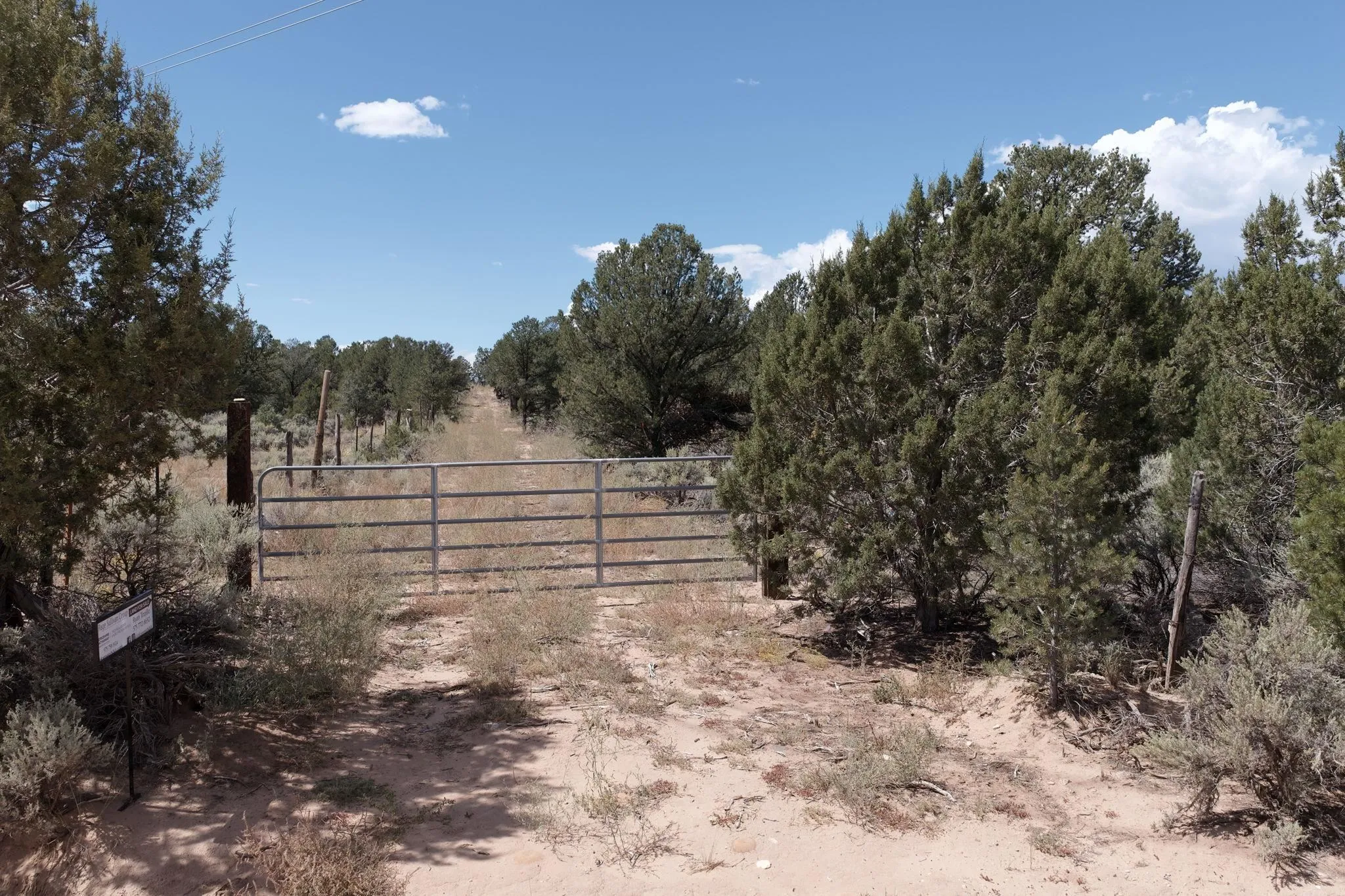
Land For Sale


Basic Details
Property Type:
Land
Listing Type:
For Sale
Listing ID:
114087
Price:
$135,000
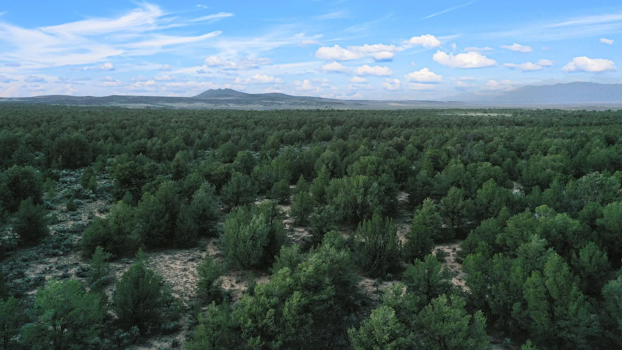
Lot Area:
39.95 Acre
Number of Acres:
39.95
Property Sub Type:
Unimproved Land
Features
Sewer
Septic Type Unknown,
Utilities
Electricity Available, Phone Available, Natural Gas Not Available,
Address Map
Country:
US
State:
NM
County:
Taos
City:
Carson
Subdivision:
None
Zipcode:
87517
Street:
South Carson Road 39 Acres
Mls Area Major:
CARSON (10A)
Directions:
Take Highway 567 (Carson Road) to South Carson Road. Go 2.3 and look for directional sign at easement road to the Right. Or go right on Power Line Road (aka High Power Road). Go 1/4 (.25) miles and property will be on the right. Look for sign at the South East property line.
MLS Addon
Office Name:
Berkshire Hathaway HomeServices Taos Real Estate
Agent Info
| No Image |
Evan Blish
|
