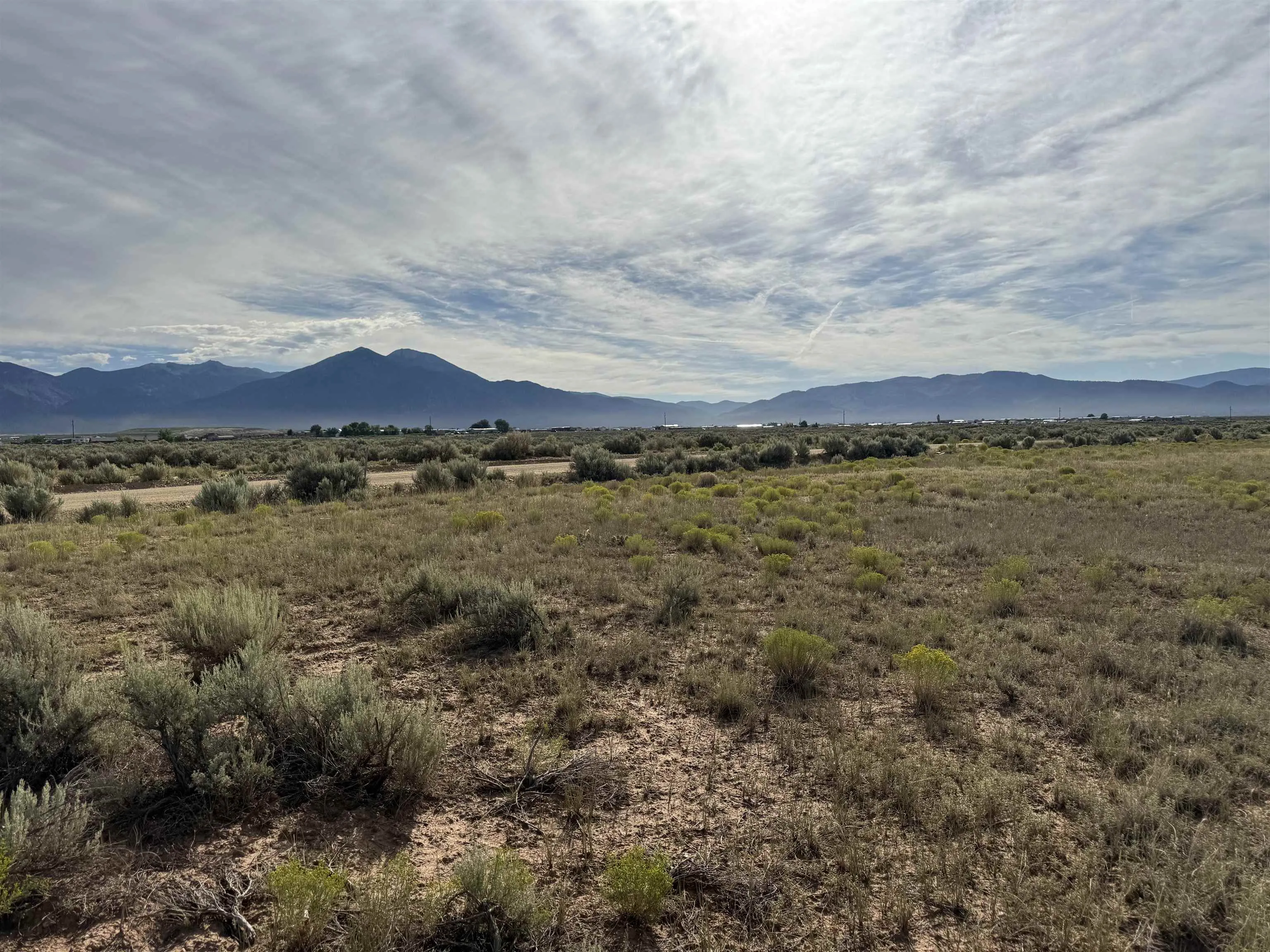
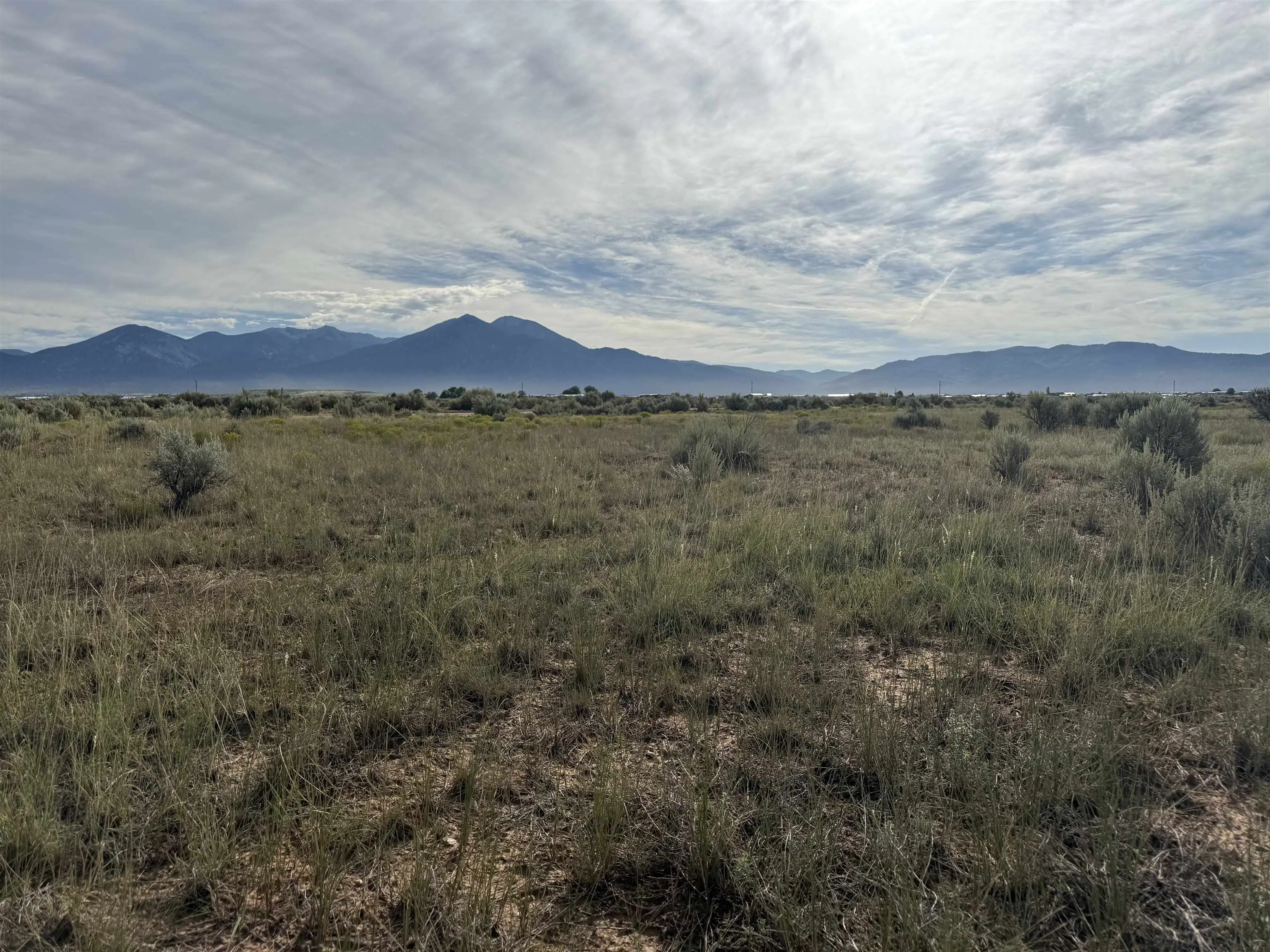
Land For Sale


Basic Details
Property Type:
Land
Listing Type:
For Sale
Listing ID:
113848
Price:
$49,000
Lot Area:
1.31 Acre
Number of Acres:
1.31
Property Sub Type:
Improved Land
Features
Sewer
Septic Type Unknown,
Utilities
Electricity Available, Phone Available, Natural Gas Not Available,
Address Map
Country:
US
State:
NM
County:
Taos
City:
El Prado
Subdivision:
None
Zipcode:
87529
Street:
Avenida De Veronica
Street Number:
212
Mls Area Major:
COLONIAS LOWER (12A)
Directions:
Heading West on Hwy 64 turn Left on Lower Las Colonias Rd. At crossroads keep straight to Rabbit Valley Rd until road turns into Camino Tortuga. Turn right on Loma Azul. Turn right on Avenida De Veronica. See sign on left
Neighborhood
Middle School:
Taos
Elementary School:
Taos Elementary
High School:
Taos
MLS Addon
Office Name:
Berkshire Hathaway HomeServices Taos Real Estate
Agent Info
| No Image |
Evan Blish
|
