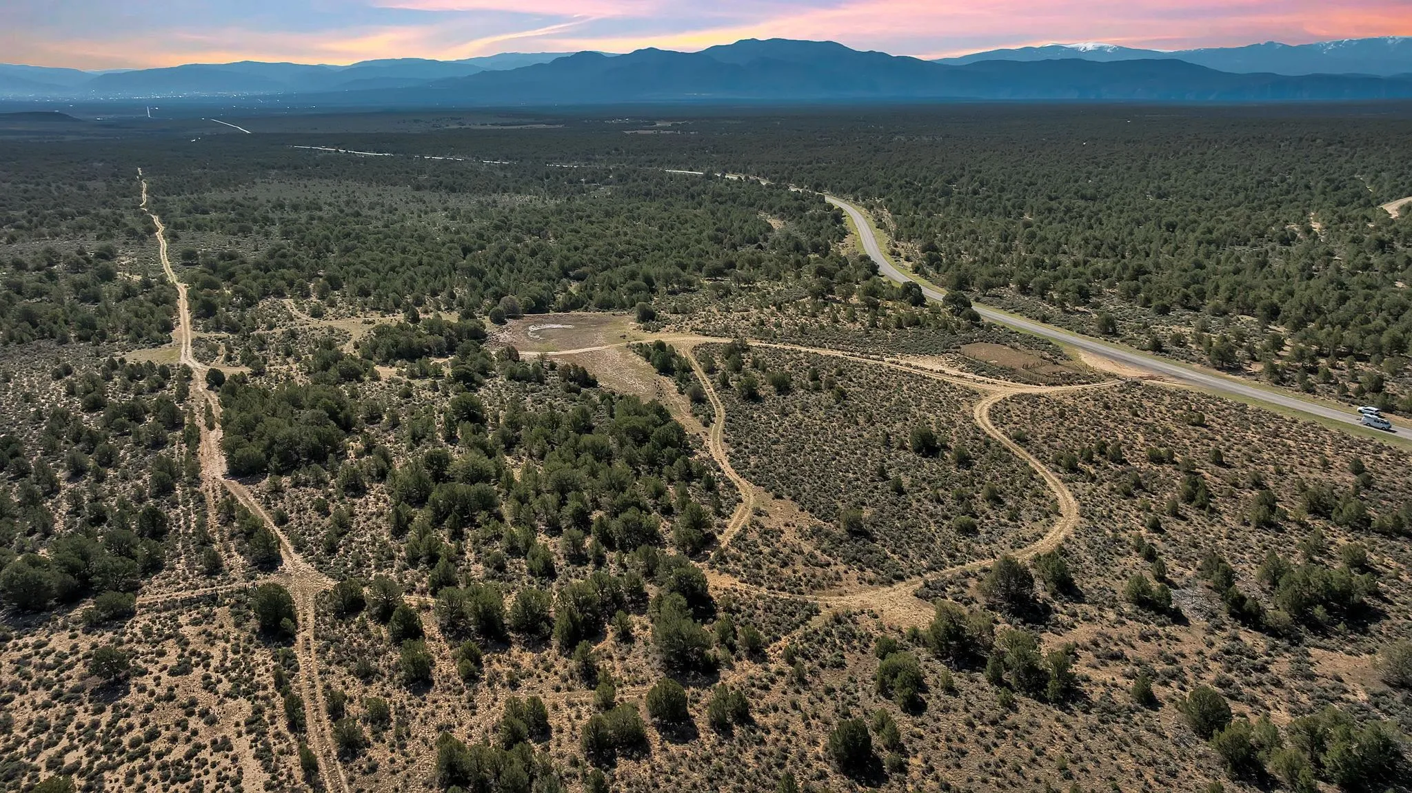
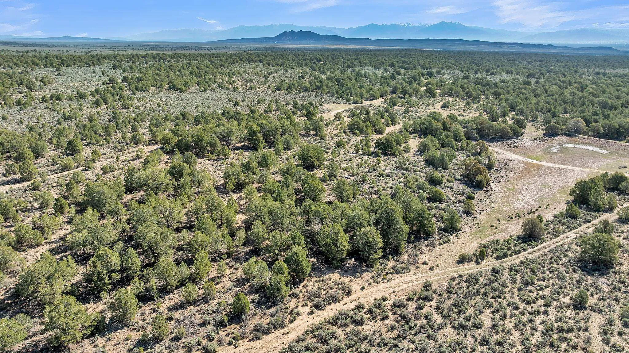
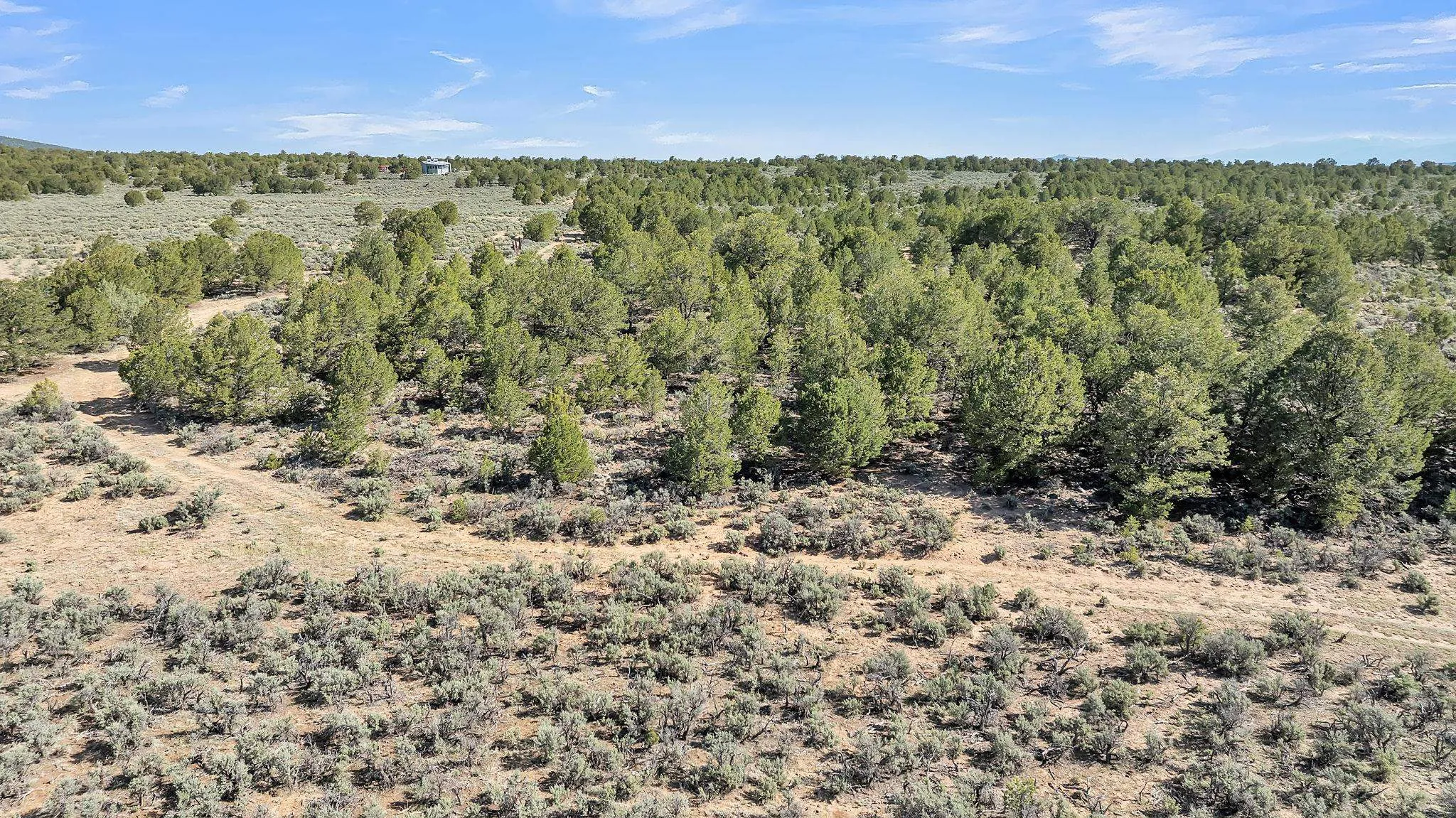
Land For Sale

Basic Details
Property Type:
Land
Listing Type:
For Sale
Listing ID:
113643
Price:
$60,000
Lot Area:
20 Acre
Number of Acres:
20
Property Sub Type:
Unimproved Land
Features
Sewer
Septic Type Unknown,
Utilities
Electricity Available, Phone Available, Propane,
Address Map
Country:
US
State:
NM
County:
Taos
City:
Carson
Subdivision:
None
Zipcode:
87577
Street:
20 Acres Highway 285
Mls Area Major:
CARSON (10A)
Directions:
Hwy 567 (Carson Road) to US 285. At US 285 go North (Right) for approximately .1 miles to dirt tract aka Martinez Tank Road. At the gate, go Right (East) for approximately .2 miles and property will be to the Left. Look for sign.
Neighborhood
Middle School:
Taos
Elementary School:
Other
High School:
Taos
MLS Addon
Office Name:
Berkshire Hathaway HomeServices Taos Real Estate
Agent Info
| No Image |
Evan Blish
|
