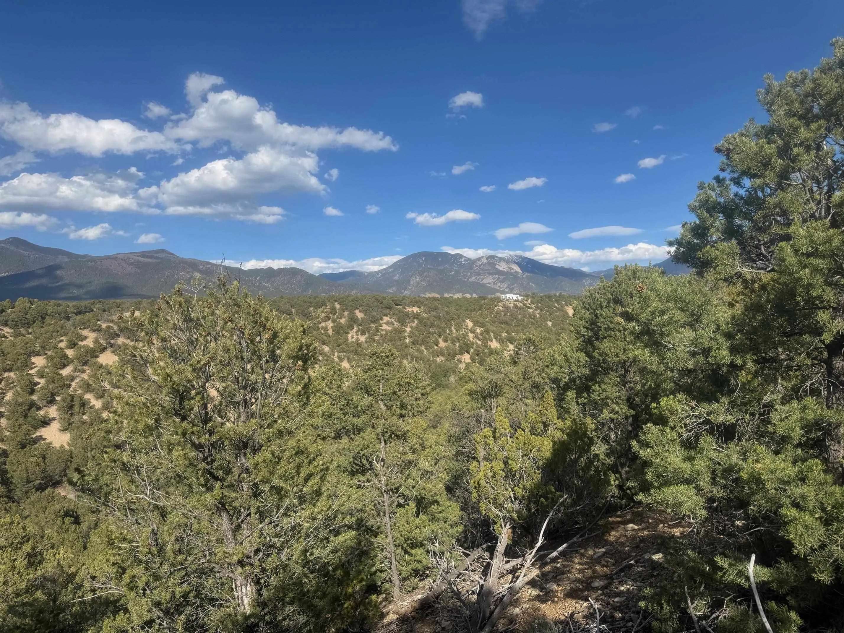
Land For Sale


Basic Details
Property Type:
Land
Listing Type:
For Sale
Listing ID:
113145
Price:
$595,000
Lot Area:
20 Acre
Number of Acres:
20
Property Sub Type:
Unimproved Land
Features
Sewer
Septic Type Unknown,
Utilities
Electricity Available, Natural Gas Not Available, Phone Not Available,
Address Map
Country:
US
State:
NM
County:
Taos
City:
Arroyo Hondo
Subdivision:
None
Zipcode:
87514
Street:
Canyon of the Woods Off Hondo Seco Road
Mls Area Major:
DES MONTES (16A)
Directions:
Two access routes available: 1) From SR 522 go east on Hondo Seco Rd at the Midtown Market. After 1.1 miles go left on Camino Monte Azul before hill. Private is to right off Camino Monte Azul. OR 2) Head north on State Rd 522. At Midtown Market go right (east) on Hondo Seco Road. Go through village of Arroyo Hondo and up the hill for approximately 1.9 miles. Private road to left (north) accesses property at bottom the hill. PLEASE DO NOT VISIT PROPERTY WITHOUT APPOINTMENT AND PERMISSION OF OWNERS.
Neighborhood
Middle School:
Taos Jr High
Elementary School:
Arroyos Del Nt
High School:
Taos Jr High
MLS Addon
Office Name:
Engel Voelkers
Agent Info
| No Image |
Evan Blish
|
