Land For Sale

Basic Details
Property Type:
Land
Listing Type:
For Sale
Listing ID:
112878
Price:
$41,000
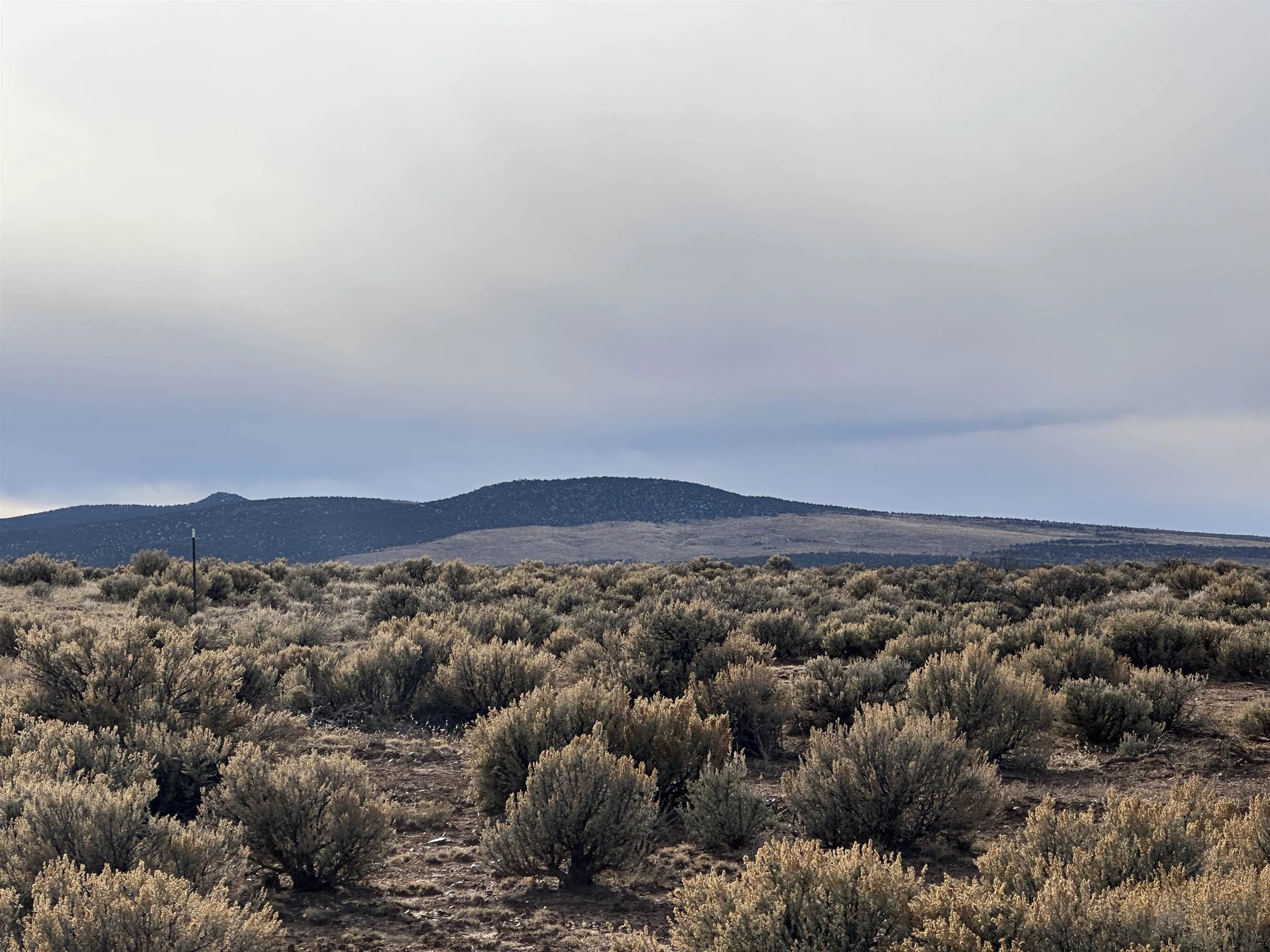
Lot Area:
9.97 Acre
Number of Acres:
9.97
Property Sub Type:
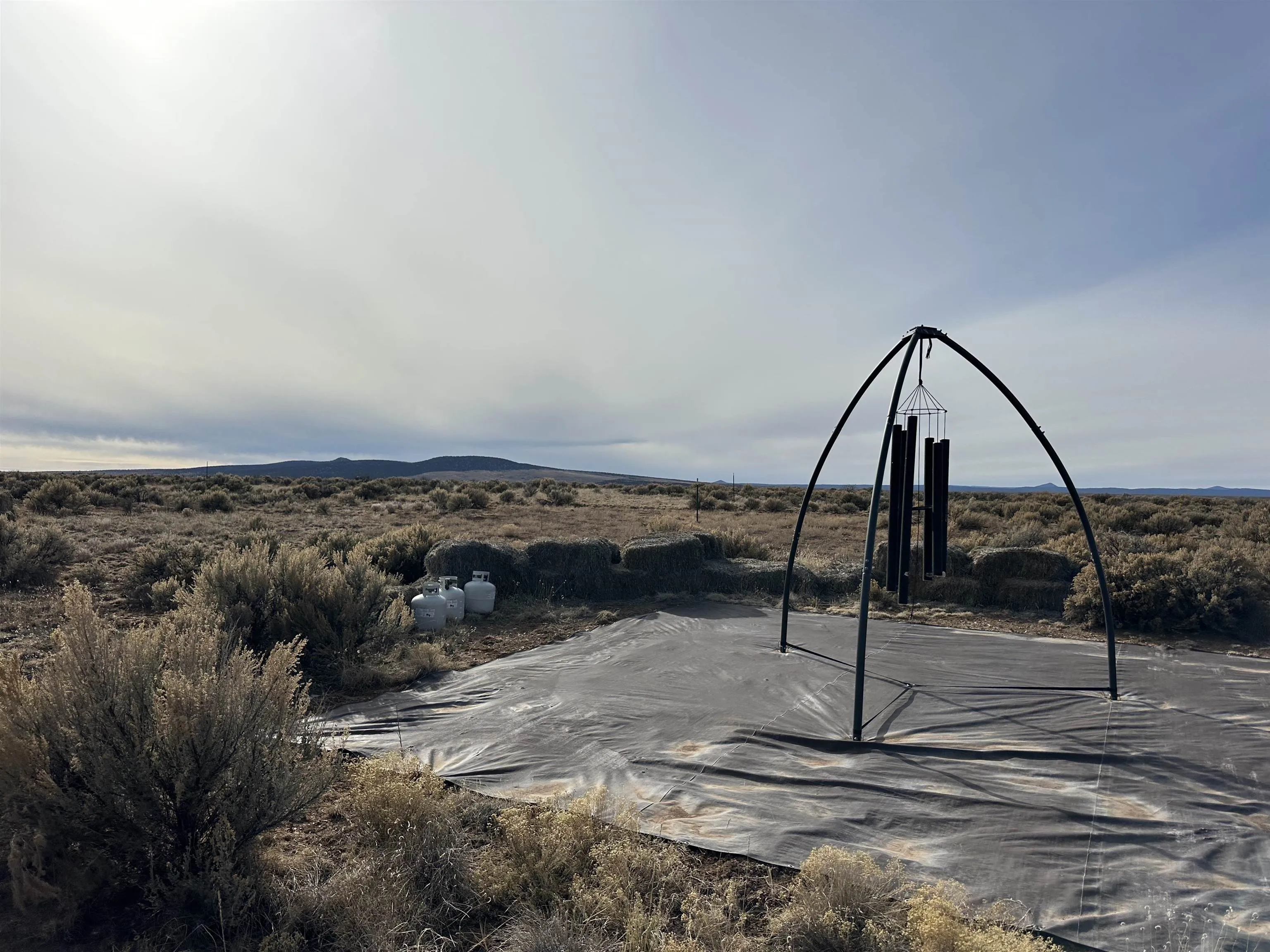
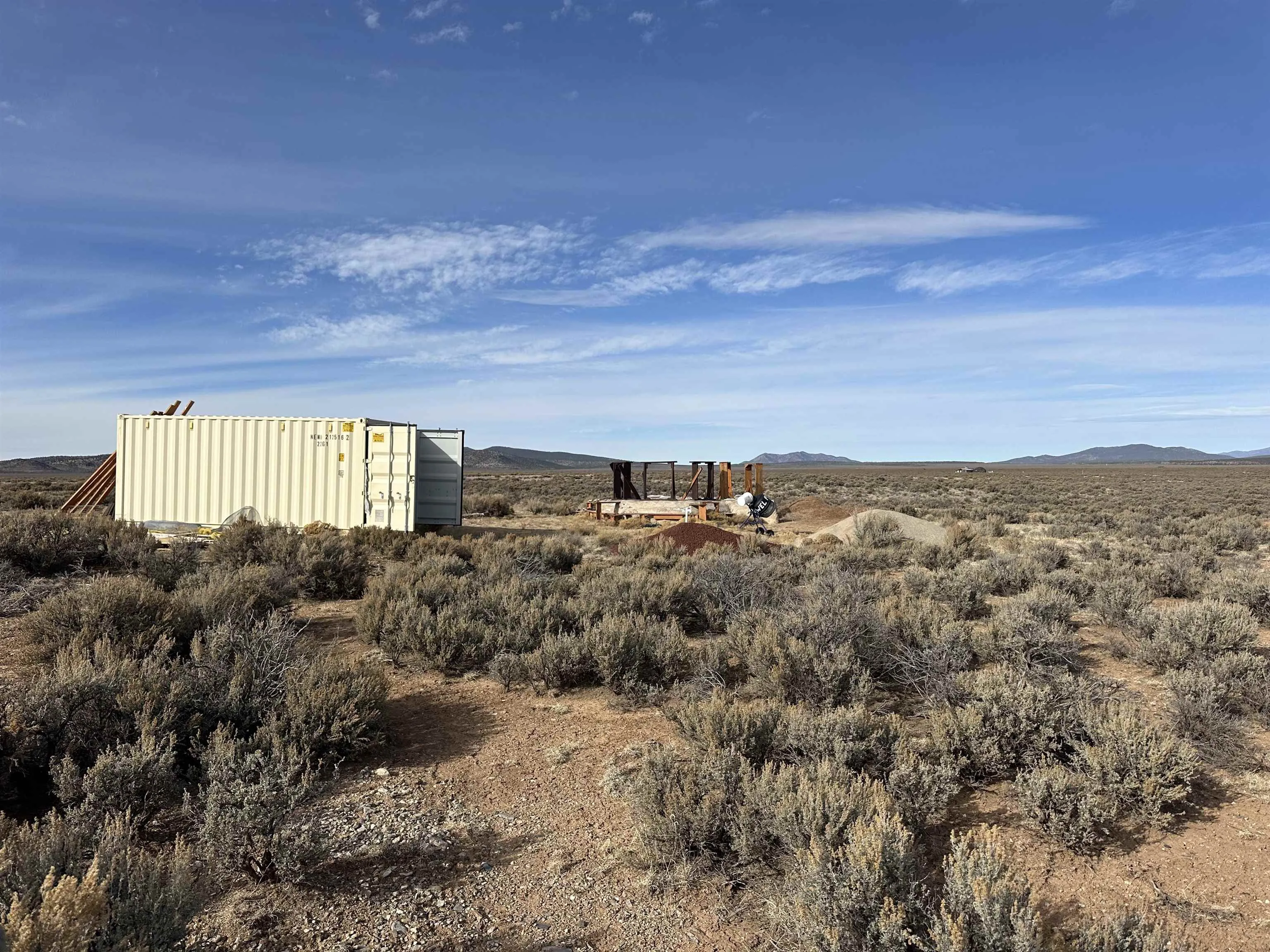
Improved Land
Features
Sewer
Septic Type Unknown,
Utilities
Natural Gas Not Available, Electricity Not Available, Phone Not Available,
Address Map
Country:
US
State:
NM
County:
Taos
City:
Taos
Subdivision:
Other
Zipcode:
87529
Street:
Off Montosa
Mls Area Major:
WEST GORGE BRDG (53B)
Directions:
Head north on Paseo del Pueblo Norte, turn left (West) on Hwy 64 and proceed 14 miles to Taos Plateau/Cerro Montosa. Turn right. Continue 2.8 miles to Blue Arrow/285. Go left. Drive .9 miles. Turn right. Drive .6 miles. Go left (North) for .3 miles. Look for sign.
Neighborhood
Middle School:
Other
Elementary School:
Other
High School:
Other
MLS Addon
Office Name:
Page Patterson Real Estate
Agent Info
| No Image |
Evan Blish
|
