Land For Sale


Basic Details
Property Type:
Land
Listing Type:
For Sale
Listing ID:
112300
Price:
$165,000
Lot Area:
39.95 Acre
Number of Acres:
39.95
Property Sub Type:
Unimproved Land
Features
Sewer
Septic Type Unknown,
Utilities
Electricity Available, Phone Available, Natural Gas Not Available,
Address Map
Country:
US
State:
NM
County:
Taos
City:
Carson
Subdivision:
None
Zipcode:
87517
Street:
39 Acres Off South Carson Road
Longitude:
W74° 49' 55.1''
Latitude:
N42° 28' 40.9''
Mls Area Major:
CARSON (10A)
Directions:
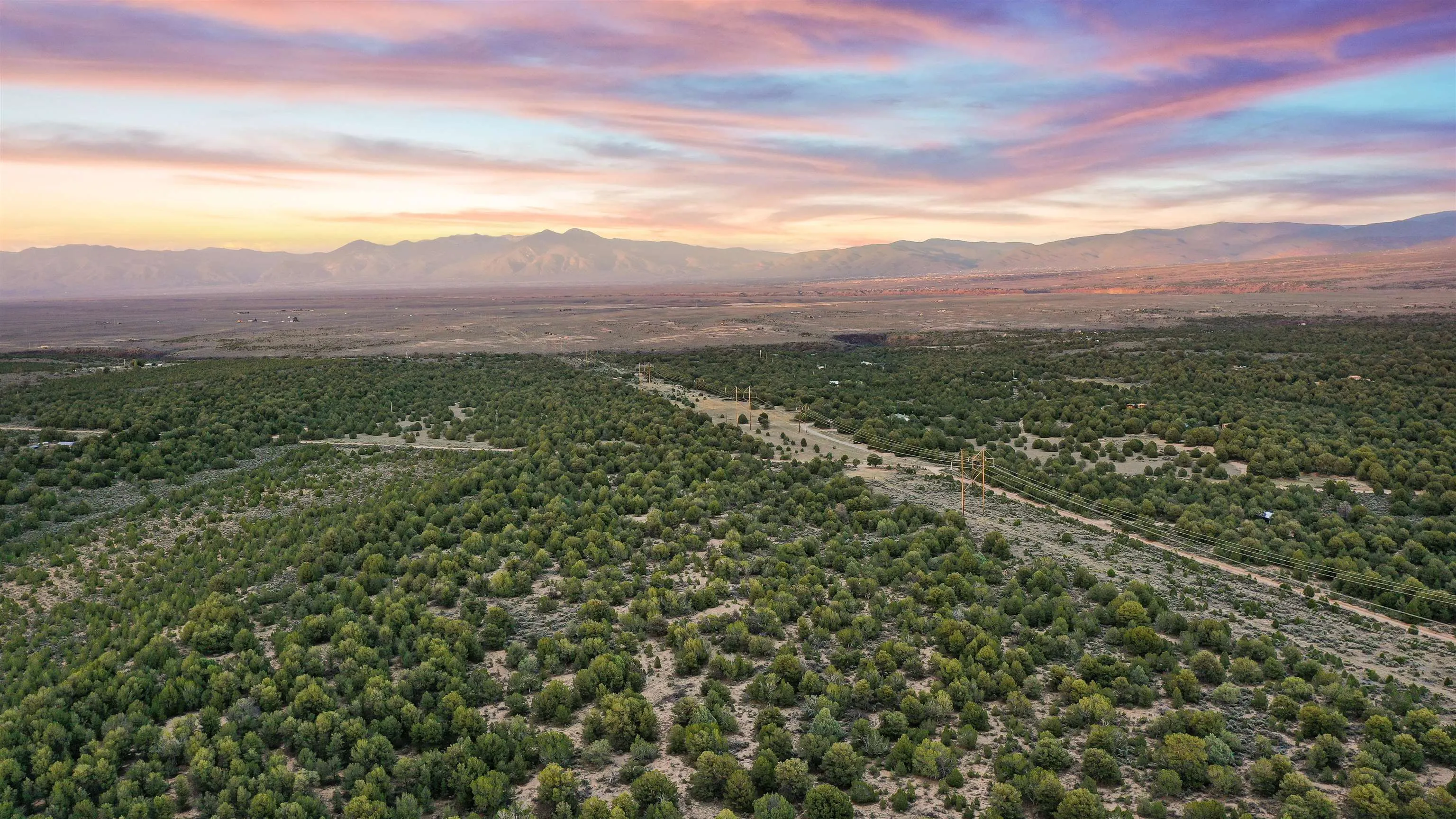
Hwy 567 (Carson Road) to South Carson Road. Go 2.3 miles to Power Line Rd (or High Power Road). Go 1/4 (.25) miles and property will be on the right. Look for sign at the South Est property line.
Neighborhood
Middle School:
Taos
Elementary School:
Other
High School:
Taos
MLS Addon
Office Name:
Berkshire Hathaway HomeServices Taos Real Estate
Agent Info
| No Image |
Evan Blish
|
